Welcome to the official course website for "Introduction to GIS Programming," offered at the University of Tennessee, Knoxville.
This course offers a comprehensive exploration of GIS programming, centered around the Python programming language. Throughout the semester, students will master the use of Python libraries and frameworks essential for processing, analyzing, and visualizing geospatial data.
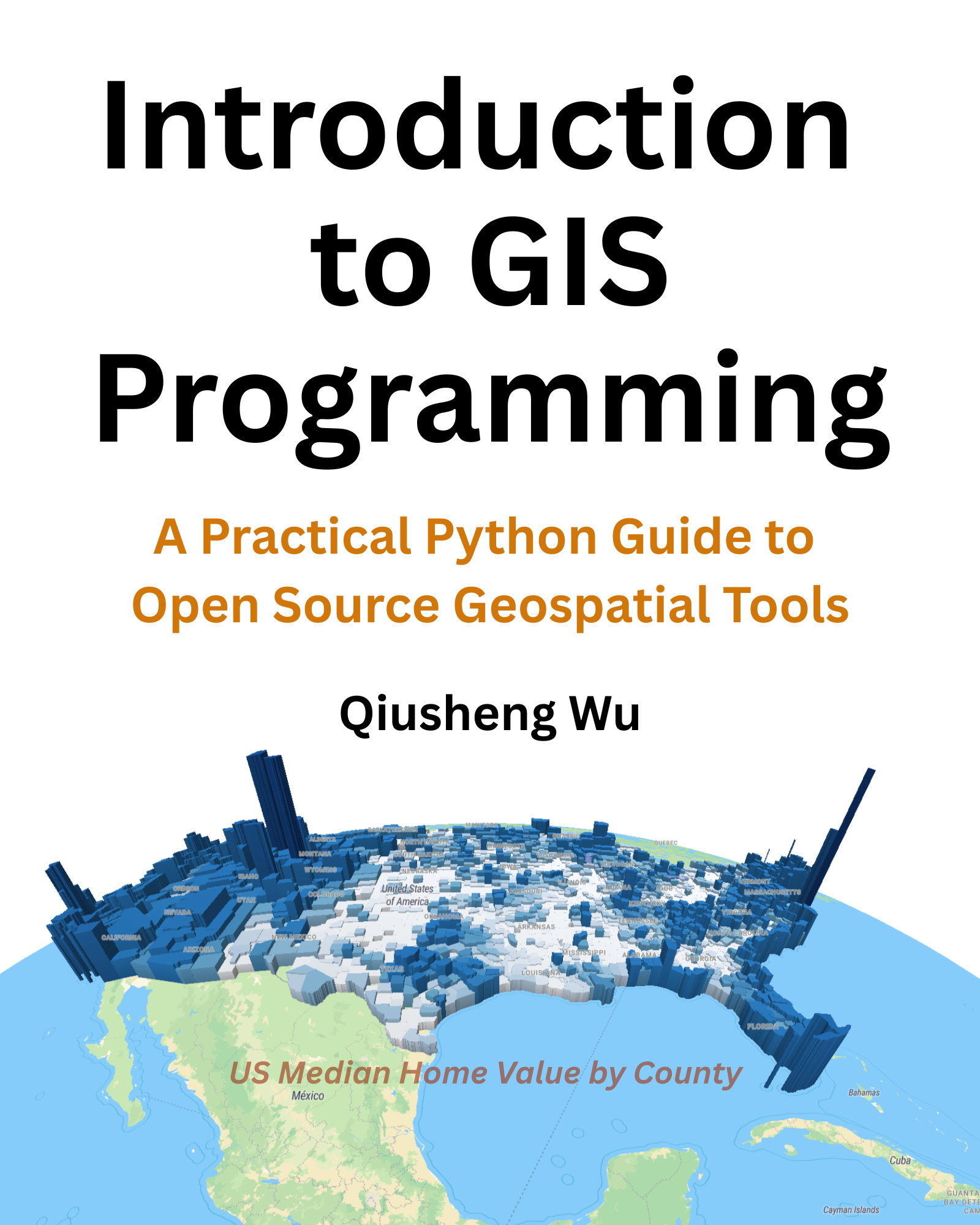
Wu, Q. (2025). Introduction to GIS Programming: A Practical Python Guide to Open Source Geospatial Tools. Independently published. ISBN 979-8286979455. https://amazon.com/dp/B0FFW34LL3
- 🇺🇸 English Full-Color Print Edition (556 pages) is available on Amazon (link)
🇺🇸 English | 🇨🇳 Chinese | 🇯🇵 Japanese | 🇰🇷 Korean | 🇲🇽 Spanish | 🇫🇷 French | 🇵🇹 Portuguese | 🇮🇩 Indonesian | 🇩🇪 German | 🇷🇺 Russian | 🇮🇹 Italian | 🇨🇿 Czech
-
Fundamentals of Python: Start with the basics—variables, data types, data structures, string operations, looping, and control statements. Progress to more advanced topics, including functions, classes, file handling, and exception handling.
-
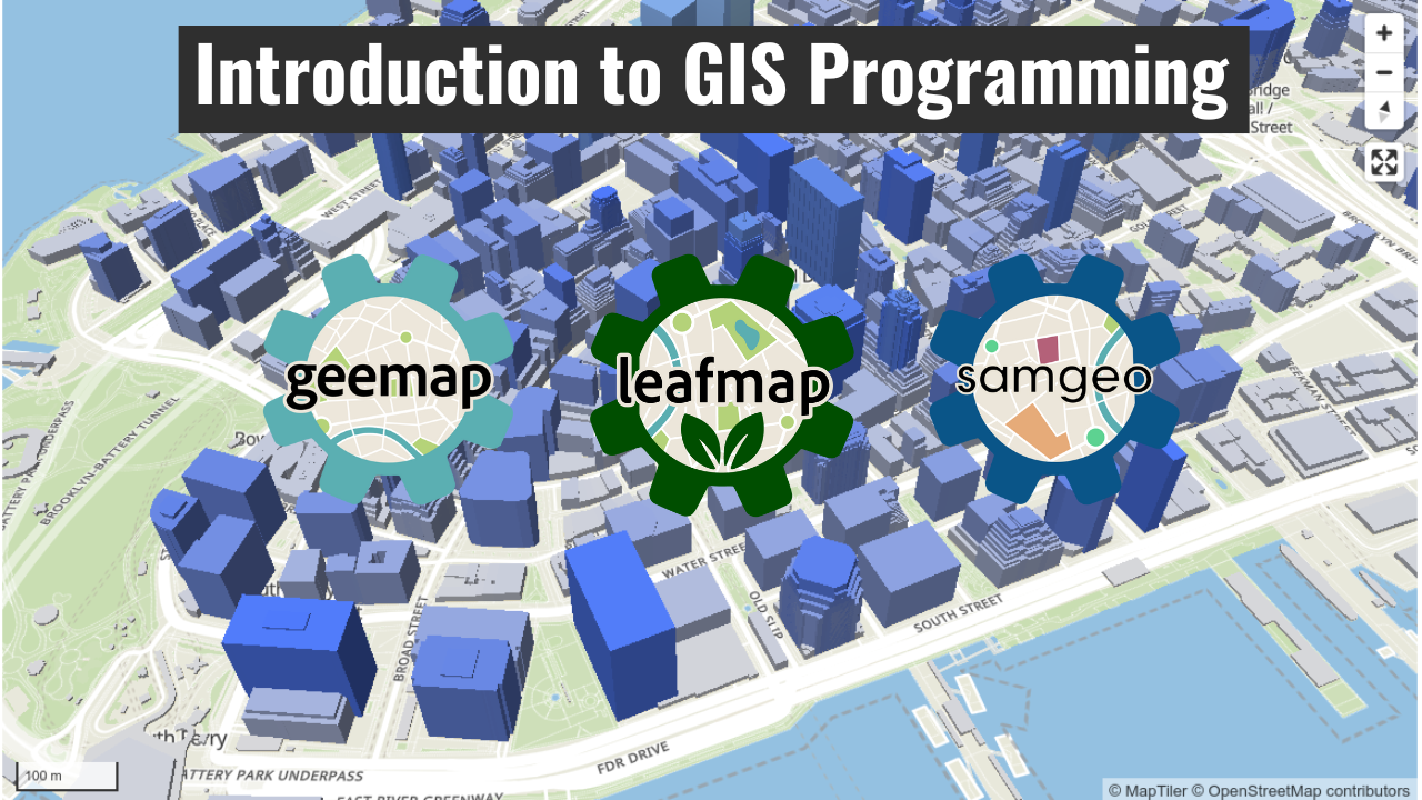
Geospatial Applications: Delve into Python’s application in the geospatial realm. Learn to create interactive web maps using Leafmap, visualize vector and raster data, and explore 3D mapping with MapLibre. You'll also get hands-on experience with a number of specialized geospatial libraries, including GeoPandas, Rasterio, Xarray, Rioxarray, Leafmap, Whitebox, MapLibre, Geemap, SAMGeo, HyperCoast, DuckDB, and more.
-
Hands-On Experience: Engage in practical labs and projects designed to reinforce the concepts covered in lectures. These activities culminate in a final project where you'll apply your skills to a real-world geospatial problem.
By the end of the course, you will have a robust understanding of Python programming, specifically tailored to geospatial analysis and visualization, empowering you to confidently tackle various geospatial challenges.
All course materials, including lecture videos, are freely available on the course website: geog-312.gishub.org.
The lecture videos are available as a YouTube playlist: https://bit.ly/intro-gis-programming
Please note that you can access the course materials and lecture videos on the course website without enrolling in the course. However, if you're interested in submitting lab assignments, receiving grades, and earning a certificate of completion, you can enroll in the course at any time by clicking the link below. There is no deadline for enrollment, and you can complete the course at your own pace.